Day 23. Canadian Pacific Railway
Timezone: UTC-5.
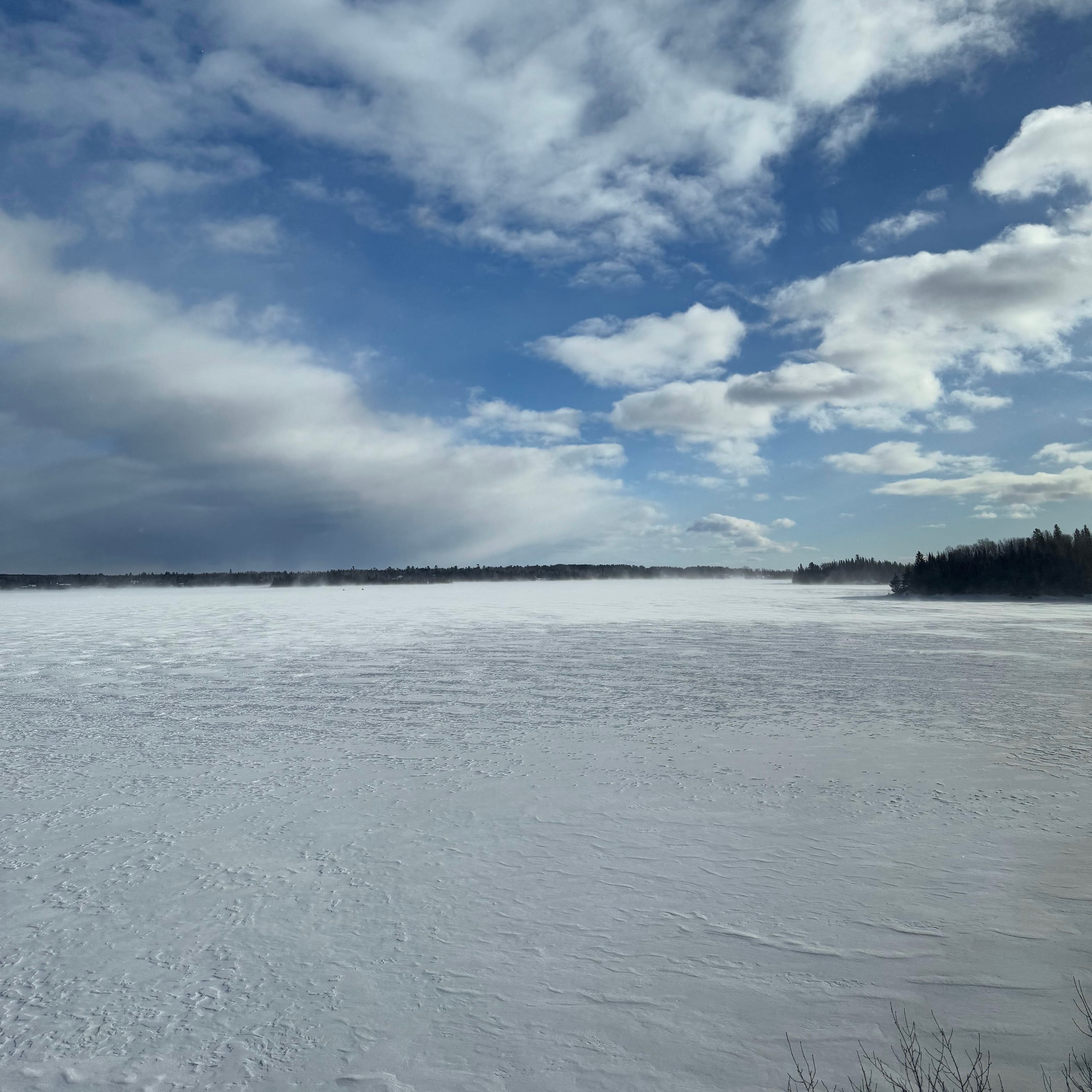
Mostly a sleepless night, expedited on looking out the window into the deceptive vastness of Canadian forests and spotting the very infrequent settlements. The train did act like a cradle, but at times it became very bumpy, so the stretches of actual sleep weren't long. I shall do a comparative analysis of this train's experience with that of the ship. The ship that I really need to get back on again.
Breakfast conversation about Canadian farming.
Canada is deceptively vast. The map shows it as the second largest country in the world and probably the greatest in depth, extending through forty degrees of latitude from Ellesmere Island in the high Arctic to Pelee Island in Lake Erie, which is on the same parallel as Rome. It is almost twice as deep ast he United States and considerably deeper than either China or the Soviet Union. If the tip of Canada were placed at Murmansk, the counry would extend as far south as Cairo; if it were placed on the Manchurian border it would drop all the way down to Bangkok.
Yet all this is illusory. For practical purposes Canada is almost as slender as Chile. Traditionally half of its people have lived within a hundred miles of the United States border and nitety percent within two hundred miles. It is a country shaped like a river – or a railway – and for the best of reasons: in the astern half of the nation, the horizontal hiving of the population is due to the presence of the St. Lawrence, in the western half to that “sublime audacity”, the Canadian Pacific.
The CPR [Canadian Pacific Railway] was the natural extension of the traditional route used by the explorers and fur traders on their passage to the West. If that natural extension had been continued as was originally planned, Canada might today have a different dimension. But that was not to be. In the spring of 1881 a handful of men, gathered around a cluttered, circular table in an office in St. Paul, Minnesota, altered the shape and condition of the new country west of Winnipeg.
That decision affected the lives of tens of thousands of Canadians. It ensured the establishment of cities close to the border that otherwise might not have existed for another generation, if ever – Broadview, Regina, Moose Jaw, Swift Current, Medicine Hat, Baniff, and Revelstoke. It doomed others – Carlton, Battleford, Eagle Hill, Bethlehem, Grenoble. Baldwin, Humboldt, Nazareth, Nut Hill, and Edmonton – to permanent or temporary eclipse. (Some, indeed, were never more than names on early railway maps.) It affected aspects of Canadian life as varied as the tourist trade and the wheat economy. In addition, it gave the railway company something very close to absolute control over the destinies of scores of embryo communities along the right of way.
Pierre Berton, “The Last Spike”